A new digital map tracks the city's privately owned public spaces
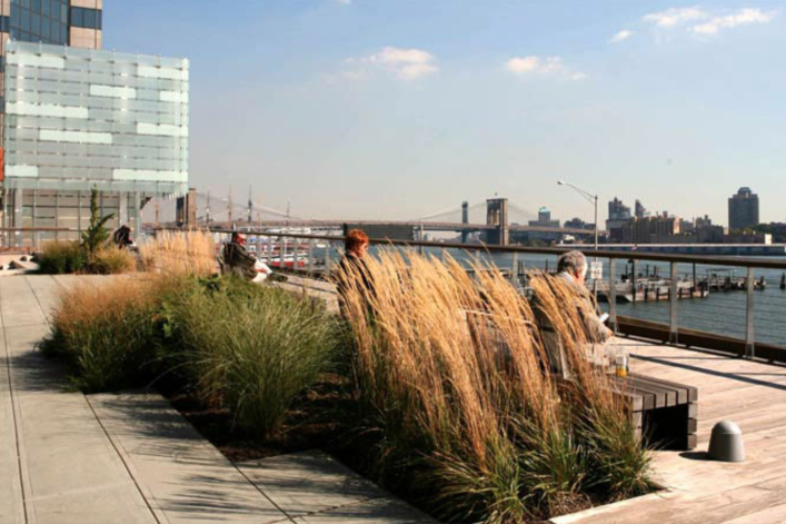
Elevated Acre at 55 Water St., a privately owned public space.
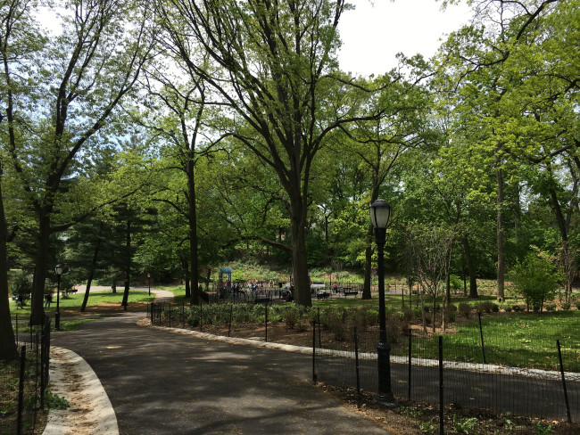
If you ever stumble on a small outdoor space so peaceful and improbably secluded that you can't tell if it is public or privately owned, chances are you are in one of New York City’s Privately Owned Public Spaces, or POPS.
Take Elevated Acre, for example. Located three stories above street level at 55 Water St., it is indeed one full acre where you can sit and eat your lunch or just take in the views of the East River. It’s one of these POPS, but if you were unsure and wanted to be confident that you were not trespassing, there’s a new interactive map from the Department of City Planning that you can consult.
“Tucked away in our busiest and densest business districts, privately owned public spaces are places to sit and relax, eat lunch and people watch. The POPS map is intended to take the mystery out of their location and function,” says Marisa Lago, director of the Department of City Planning.
The new online tool maps 550-plus POPS in New York City, providing information on hours access is permitted and any amenities at each of them, such as tables and chairs. You can also find out the year it was built and who designed it.
While they are public spaces, POPS are owned and maintained by private property owners in exchange for building taller/bulkier buildings or other waivers. Introduced in the 1960s, POPS result from zoning regulations that encourage private property owners to offer open public space and greenery in the densest areas of the city.
Today, more than 550 POPS have been built on the property of 350 commercial buildings. These public spaces are primarily located in Manhattan, but are increasingly being developed in other boroughs, particularly Brooklyn and Queens. Find out more about POPS here.
You Might Also Like


